

Fun Dyed Salt Dough Maps for Geography
We made lovely maps of landforms for geography study.
We used the book Geography from A to Z for reference. The toothpicks were for labels.

Always fun to let them get them their hands dirty mixing the flour, salt, and water! Sticky!
Fun sensory play.

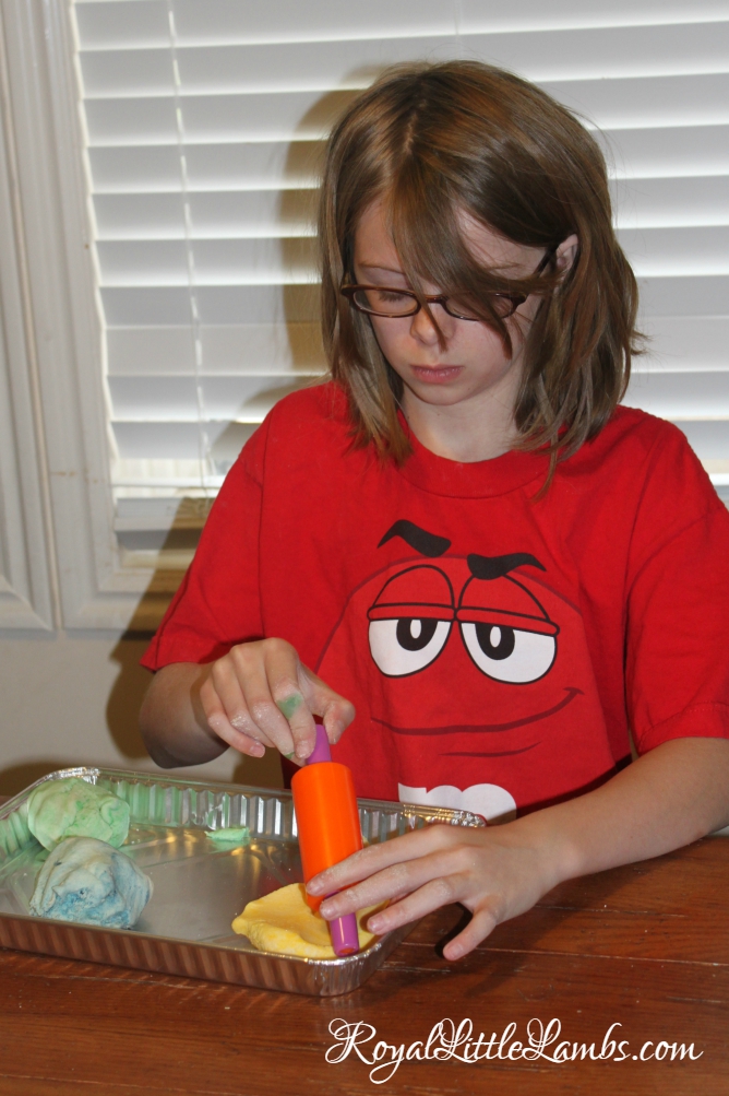
I separated the dough into three sections and dyed them yellow for desert, blue for water, and green for land.
Alex liked using play dough tools.

Kate was very particular placing her land and water dough.

Tori loved the hands on activity!

Liz liked rolling out her dough.
We placed toothpicks in parts of the wet dough maps.
After the maps dried, we glued handwritten flags to the toothpicks, labeling the land formations.
It will dry and harden overnight. You can add painted details!
How do you make geography fun?
Also see this salt dough map of the Nile River Delta. Check out no-bake cookie dough maps and chocolate chip cookie maps.
Salt Dough
Ingredients
- 1 cup AP flour
- 1/2 cup salt
- 1/2 cup warm water
- food coloring optional
Instructions
Mix ingredients together with a wooden spoon or plastic spatula or by hand.
Divide into thirds. Add yellow to 1/3 (desert), blue to 1/3 (water), and green to 1/3 (grass) to make land maps.
It will harden so keep in a zip bag in fridge until ready to use.


Leave a Reply